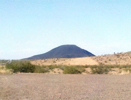
AJO RIDE
Phonetically, Ajo is pronounced AH-hoh and in Spanish it means garlic. It is located just north of the Mexican border by about 40 miles on AZ-85.
This small town is a bit over a hundred miles from Phoenix, but this trip takes you there via Florence, Tucson, and Sells and covers over 360 miles.
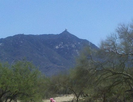
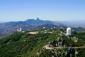
Some interesting travel destinations to visit are Old Tucson, Kitt Peak Observatory, and Organ Pipe Cactus National Monument.
Plan on full day of riding and pick one place of interest, otherwise you'll be spending the night somewhere along the way.
Unless you're with a group of hardcore bikers, and hardcore yourself for that matter, travel in the summer months is not recommended because of the intense heat.
Check out this map of the route which leaves from the Phoenix metropolitan area. We completed it clockwise as depicted in the travel videos below, but it doesn't matter how you do it.
View Ajo in a larger map
Here's the typed list of directions for this Ride
1. From Loop 202 in East Valley, Take US 60 (Superstition Fwy) East to Florence Jct. AZ-79 (22 miles)
2. Travel on AZ-79 S/Pinal Pioneer Pkwy through Florence, Arizona to Oracle Jct. (58.2 miles)
3. Turn Right at Oracle Jct on AZ-77 (N. Oracle Road)and travel south through Catalina and Oro Valley to Tucson. (21.5 Miles)
4. Turn Right on W. Miracle Mile to I-10 East. (1.5 miles)
5. I-10 to I-15 South. (4.5 Miles)
6. I-15 S. to First Exit AZ-86. (1.5 Miles)
7. West on AZ-86 towards Sells to Why. (118 Miles)
8. Turn Right on AZ-85 At Why and remain on AZ-85 through Ajo and Gila Bend to AZ-238 (W. Maricopa Rd) (55 Miles)
9. Turn Right on AZ-238 to Maricopa. (40 Miles)
10. Left turn onto AZ-347 (N. John Wayne Parkway/ Maricopa Road) to I-10 W. (14.7 Miles)
11. Turn Left onto I-10 towards Phoenix
Total: 364 Miles
